
Caltrans Will Reopen Lanes on State Route 33 in Ventura County
Caltrans Will Reopen Lanes on State Route 33 in Ventura…
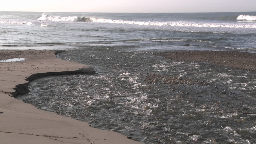
VCWPD operates and maintains flood control facilities that have been constructed by the District, or by others and transferred to the District. Routine maintenance is conducted periodically on all District facilities to ensure proper operations. Maintenance typically involves removal of sediment and vegetation to restore the original design conveyance or flow capacity of flood control channels or the storage capacity of flood or debris basins. The District maintains 40 dams or debris basins strategically placed to capture or remove sediment from channels that have the potential to cause downstream flooding of residential or commercial areas. Additional (non-scheduled) storm-related maintenance is conducted on an as-needed basis, usually during emergency conditions, to protect life and property.
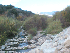
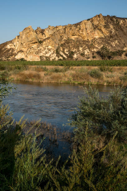
The Ventura River Watershed (Zone 1) includes the cities and communities of Ojai, Ventura, Oak View, Casitas Springs, Live Oak Acres, and Meiners Oaks. Major drainages are the Ventura River, San Antonio Creek, and various tributaries draining the Ojai Valley.
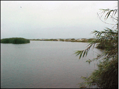
The Santa Clara Watershed (Zone 2) covers the following cities and communities: Piru, Fillmore, Santa Paula, Ventura, El Rio, Saticoy, Oxnard, Port Hueneme and Nyeland Acres. Major or significant drainage channels are the Santa Clara River and its tributaries and various Oxnard Plain drains.
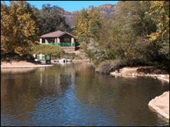
The Calleguas Creek Watershed (Zone 3) encompasses the following cities and communities: Simi Valley, Moorpark, Camarillo, Thousand Oaks, Newbury Park and Somis. Major creeks and streams are the Arroyo Conejo, Arroyo Simi, Santa Rosa Creek, Conejo Creek, Arroyo Las Posas, Calleguas Creek and Revolon Slough.
The Malibu and Potrero Creeks Watershed (Zone 4-South) comprise primarily the city and community of Westlake Village, with major drainages being Potrero Creek and Medea Creek (plus some headwater tributaries of Malibu Creek). The Cuyama River (Zone 4-North) is the major drainage area for the northwest portion of Ventura County, and essentially involves the headwaters of the Cuyama River and a few initial tributaries of that long and significant stream system that passes through at least four California Counties as it winds toward the Pacific Ocean.
Caltrans Will Reopen Lanes on State Route 33 in Ventura…

Anitha Balan, Director, Roads & Transportation and Jim O’Tousa, Director,…
June 1, 2023 Civil + Structured ENGINEER media The Matilija…

February 11, 2023 VC Star Last week, David White closed…
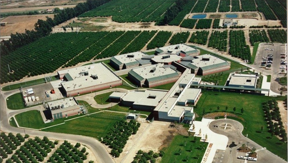
VCMC Parking Lot ImprovementsCompletion Date N/A SUPERVISOR DISTRICT #1 OWNER:…

December 25, 2022 VC Star Even though Christmas tree recycling…
December 21, 2022 The Californer VENTURA, Calif. – Californer —…
VC Reporter November 3, 2022 Written by: David Goldstein To…

October 22, 2023 Moorpark Acorn Ventura County Public Works has…

OJAI FIRE STATION #20Completion Date: October 2021 Supervisor District 1…
Solid Waste Collectors American Resource Recovery, Inc. (805) 247-9155 www.ejharrison.com…

Take a look at some current projects VCPWA’s Engineering Services…

Engineers Week 2022 is February 20-26! We celebrate the many…

David Fleisch Receives APWA’s Public Works Professional of the Year…

FILLMORE FIRE STATION #27Completion Date: November 2019 Supervisor District 3…

FILLMORE LIBRARY PROJECTCompletion Date: August 2022 Supervisor District #3 Owner:…
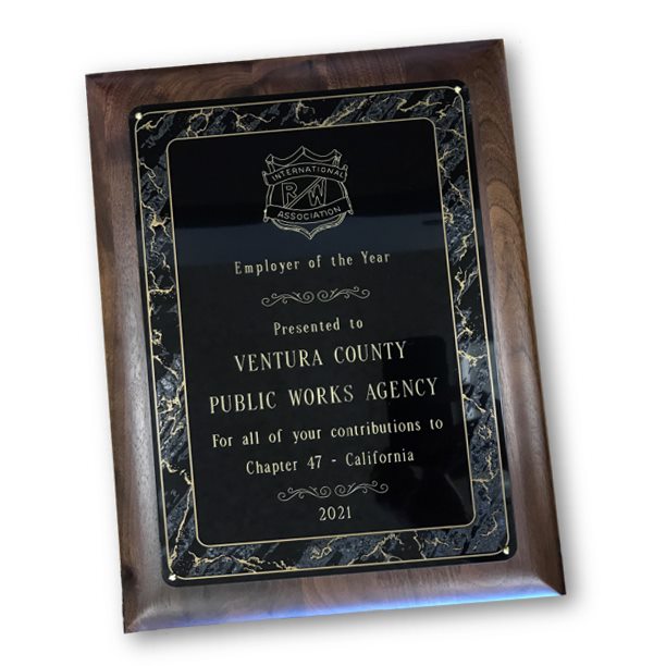
Oct.12, 2021 County of Ventura Public Works Agency is Employer…

Water and Sanitation – Heroes At Work in the Mud…

Ventura County Public Works Agency Engineering Services Work on Innovative Projects…
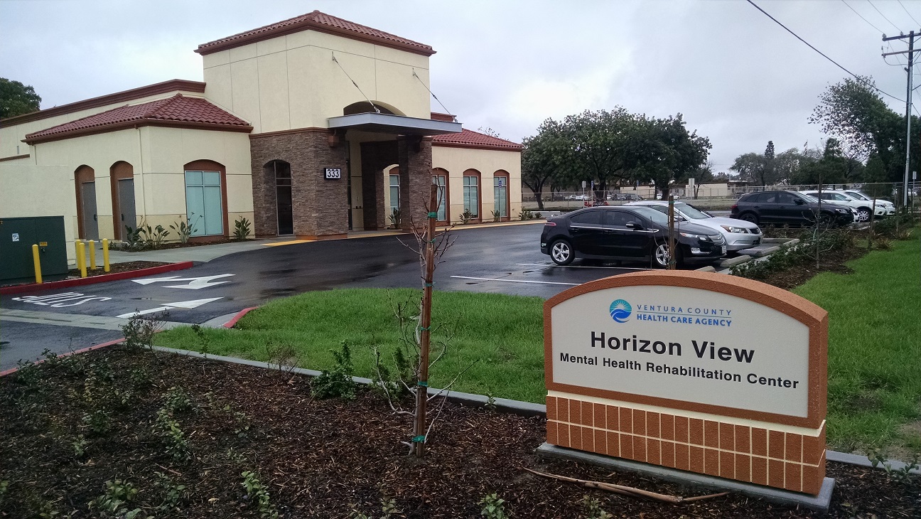
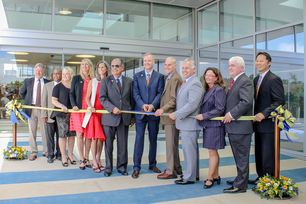
HORIZON VIEW MENTAL HEALTH REHABILITATION CENTER Supervisor District 3 Ventura…
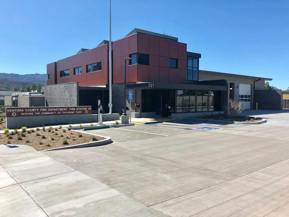
Newbury Park Fire Station #35Completion Date: August 2017 Supervisor District…

VCMC HOSPITAL REPLACEMENT WING Project Start Date: Scheduled Completion Date:…

The VCPWA WORKS Newsletter is a mobile and informative way…

The VCPWA WORKS Newsletter is a mobile and informative way…

The VCPWA WORKS Newsletter is a mobile and informative way…

The Thomas Fire of December 2017 devastated our community of…
The collaborative work of several county departments bring the new…