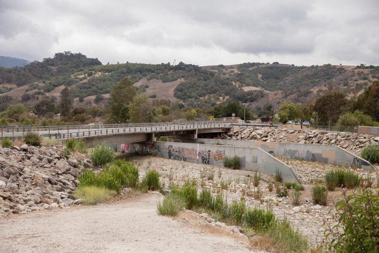
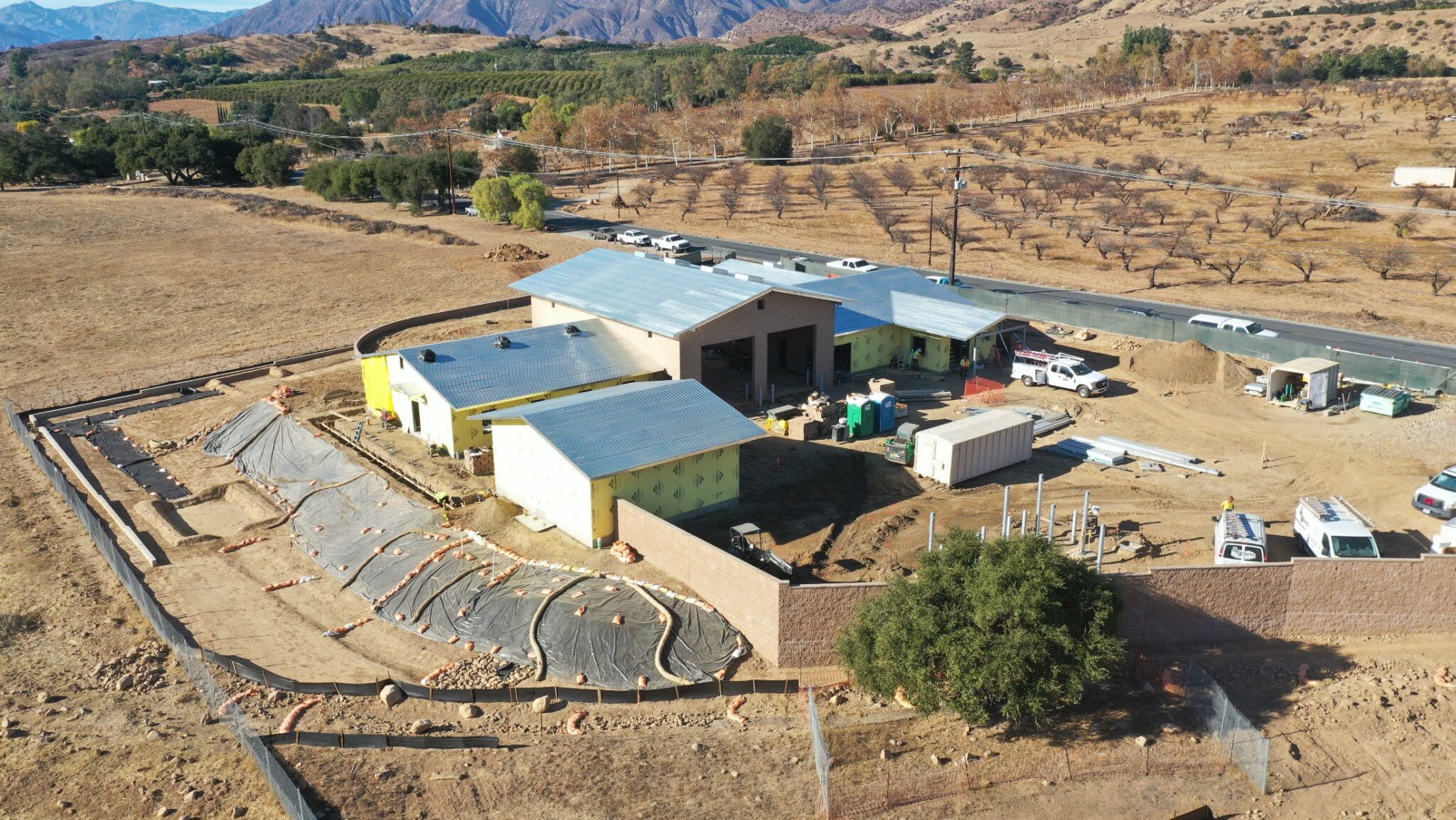
Since 2018, VCPWA has been operating a drone/Unmanned Aircraft Systems (UAS) program, which has greatly helped improve our project efficiency and increase our employee’s safety.
Using drones, our agency has been able to reduce the time spent on projects while continuing to take still pictures of project sites from 200 feet in the air, from every angle. Combined with our processing software, these pictures are layered together and allow us to create highly accurate 3D models of project sites.
VCPWA’s Engineering Services County Surveyor and drone pilot, Larry Dibble, has been working with the county for two years on various mapping projects.
“The UAS program involves a lot of pre-planning,” said Dibble. “The photos taken need to line up precisely and need to be in particular locations. We have to go out on the field to establish control, otherwise the photos wont line up together and we won’t get the images we need.”
There are also many surveying logistics and legal requirements to be aware of when flying the drones. For example, drones need to be a certain distance away from airports (about 5 miles), and are restricted from flying over certain areas such as places that are highly trafficked with many people.
“There’s a lot of research that goes ahead of the project to make sure we are doing it in a safe matter and fulfilling all the requirements of the FAA,” said Dibble.
In addition to greater project efficacy, the UAS program has also helped increase VCPWA’s worker safety. For example, a recent sinkhole area was mapped out by a drone, collecting accurate measurements without risking an employee’s safety.
By allotting the team with more time to complete additional projects while maintaining worker safety, this program continues to help VCPWA make innovative strides for our team and community.


