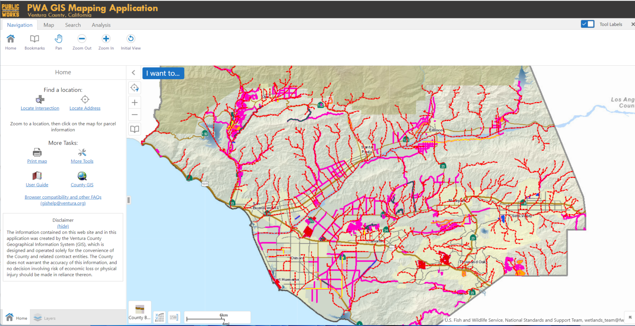
PWA GIS MAPPINGYou can view various types of information on the PWA GIS Mapping Application. |
| General instructions for using the PWA GIS Mapping Application to research land survey records can be viewed and downloaded here.
You are also welcome to visit the County Surveyor’s Office web page for additional land survey related information. |
PWA MAPPING SERVICES
Interactive maps and GIS products


